


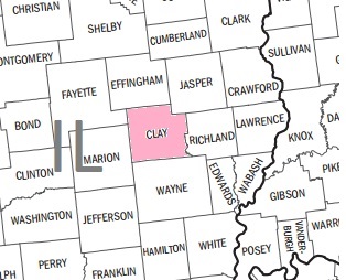
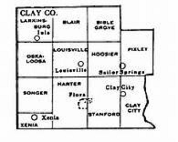
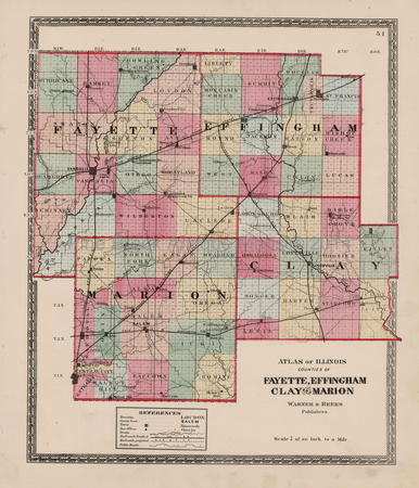
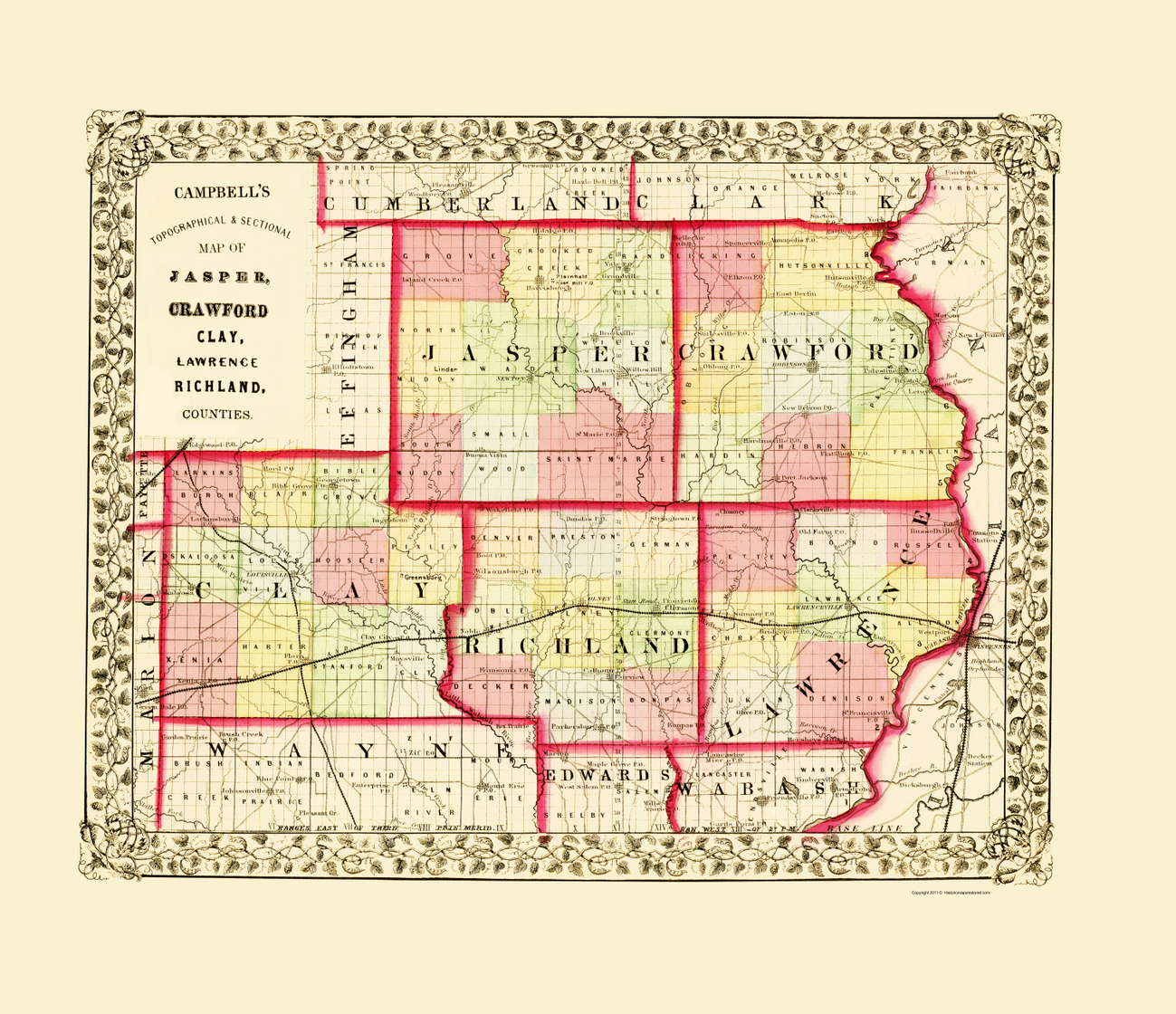
If you click on one of maps below, a new tab will open with a larger image of the map.
 |
 |
 |
 |
 |
 |
 |
 |
 |
 |
 |
Research How-To
As a part of their Genealogical Research Series, the Illinois State Archives offers an excellent pamphlet, Land Sale Records (4-page pdf file), to help you find your ancestors through land transactions.
Land Patents
The original sale of land by the federal government is recorded in a land patent. This could be a available aid to locating your early settler ancestors. You might find a land patent for an ancestor by searching at The Bureau of Land Management. The site also allows you to view an image of the document, which will tell you where (county and state) the purchaser lived at the time of the purchase.
Locating Land
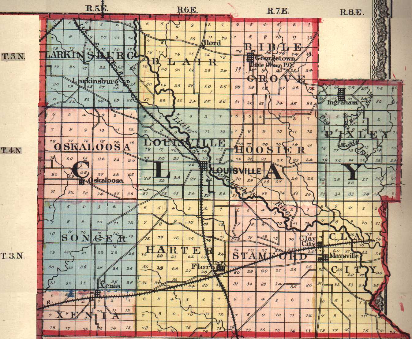
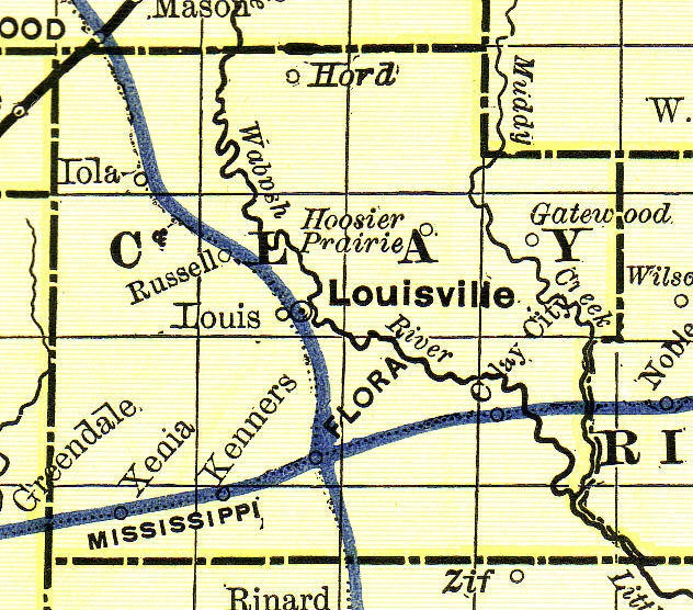
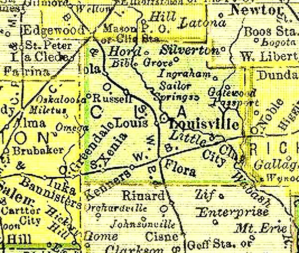
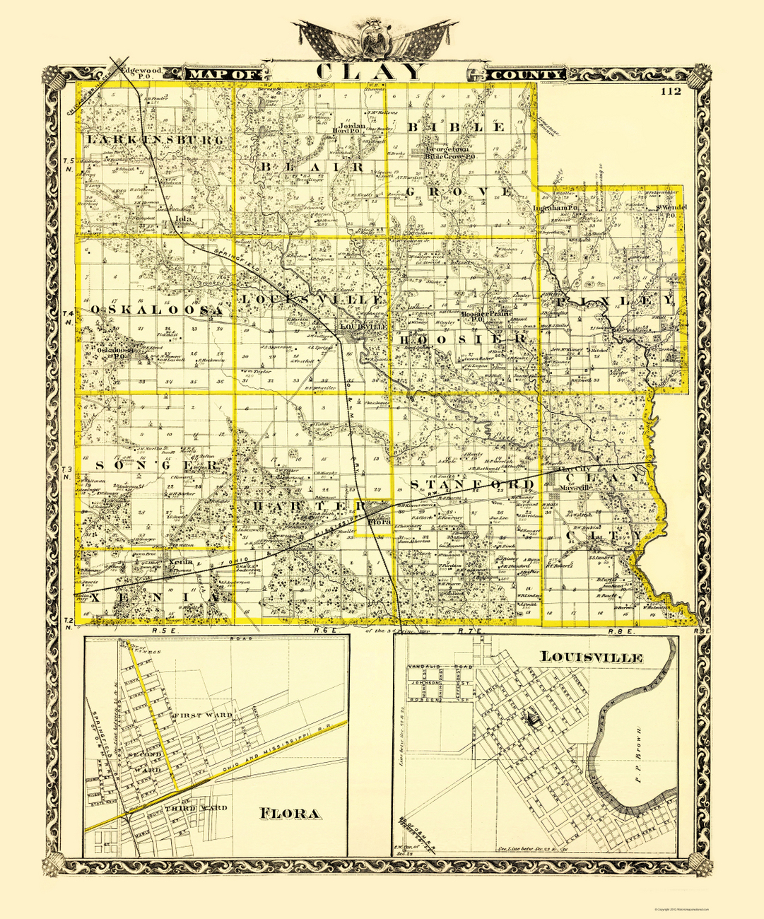
A good explanation of the system for mapping township sections is offered in the "Determining Location" topic located near the bottom of the Public Domain Land Tract Sales webpage at Illinois State Archives Illinois, some of which has been provided below.
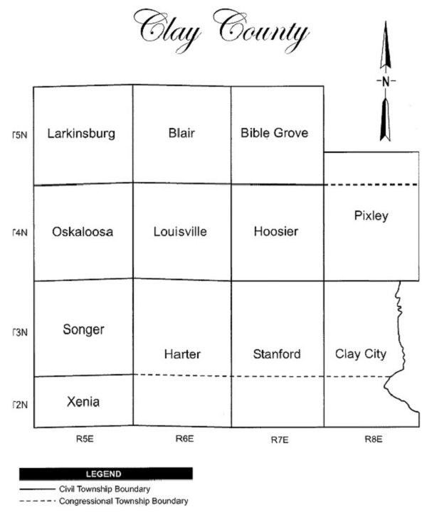

Typically, townships are divided into 36 sections of 640
acres. Each section is further subdivided into quarter sections,
half-quarter sections, or quarter-quarter sections. Examples of
these subdivisions within a township appear below.
NW – The northwest ¼ of a section (160 acres)
S2NW – South ½ of the northwest ¼ of a section (80 acres)
NENW – The northeast ¼ of the northwest ¼ of a section (40
acres)
| Fayette | Effingham | Jasper |
| Marion |
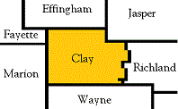 |
Richland |
| Wayne |
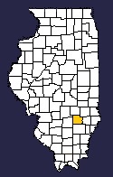


Clay County ILGenWeb Copyright
Design by
